Transport & Location
Overview
Ratings
Last updated: 2026-04Bar fill compares this station to the Tokyo median for that row — hover the bar for pigment detail, the category name for what it measures. Where a colored dot appears, it shows how firm that score is (hover for sources); hues match the key below.
How ratings work
Ratings are based on real data scraped from HotPepper, OpenStreetMap, MLIT, Suumo, and other sources, then normalized across 1,493 Greater Tokyo stations. The colored dots next to each rating show how deep the underlying data goes.
Read the full methodology →Natural Environment
Probability of JMA intensity ≥6.0 in 30 years
Know this area?
Share what it's like living near Nami-Kure — your tips help others choose.
Gallery

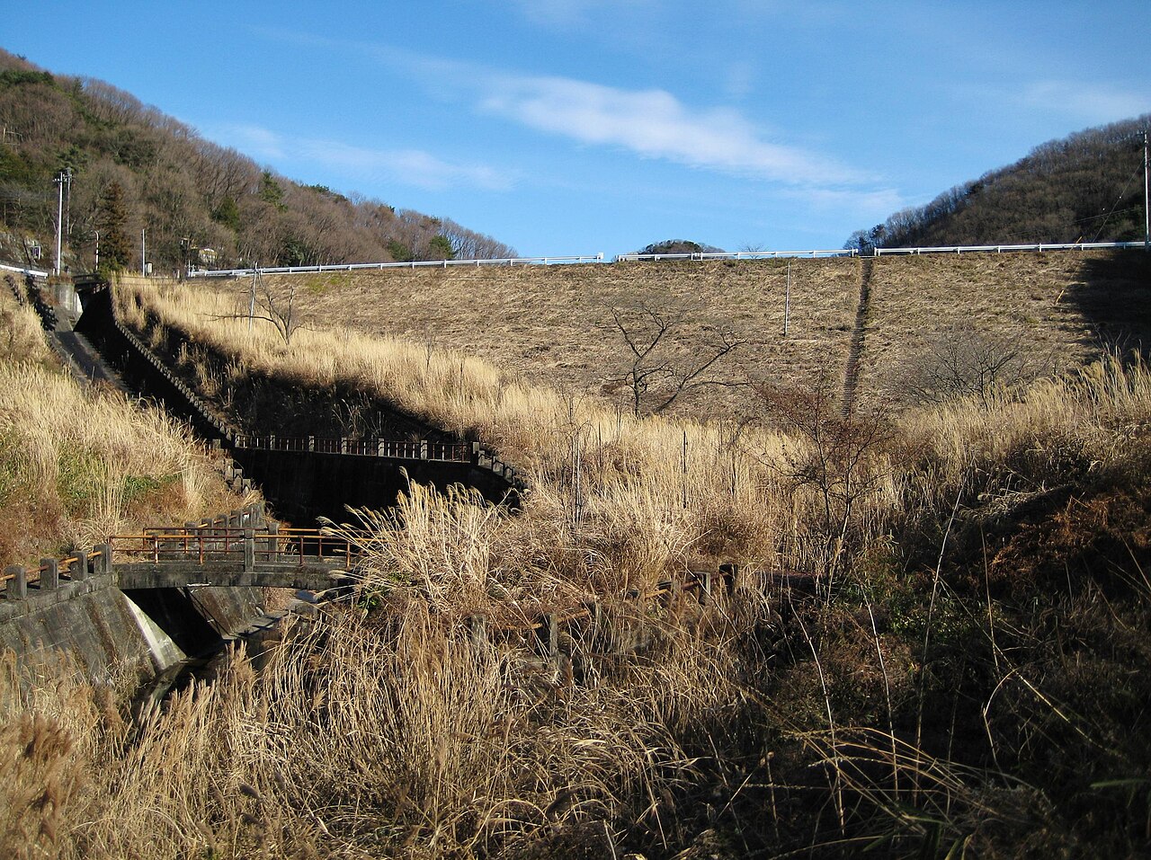

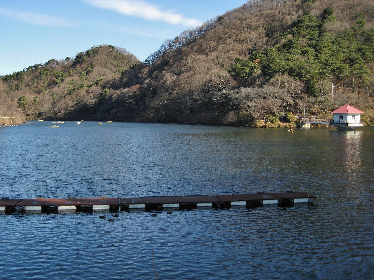

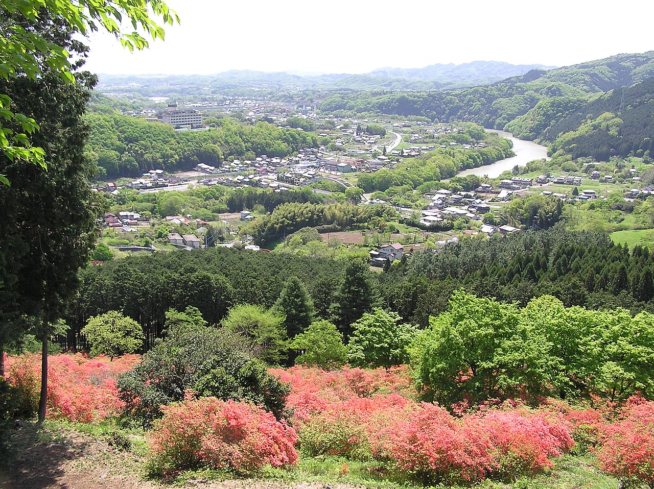

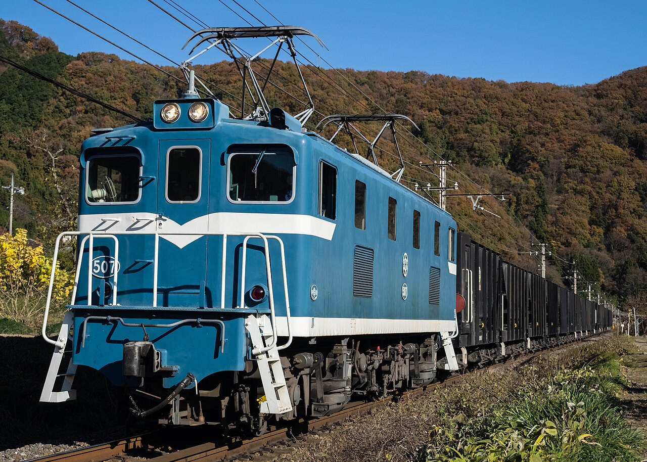

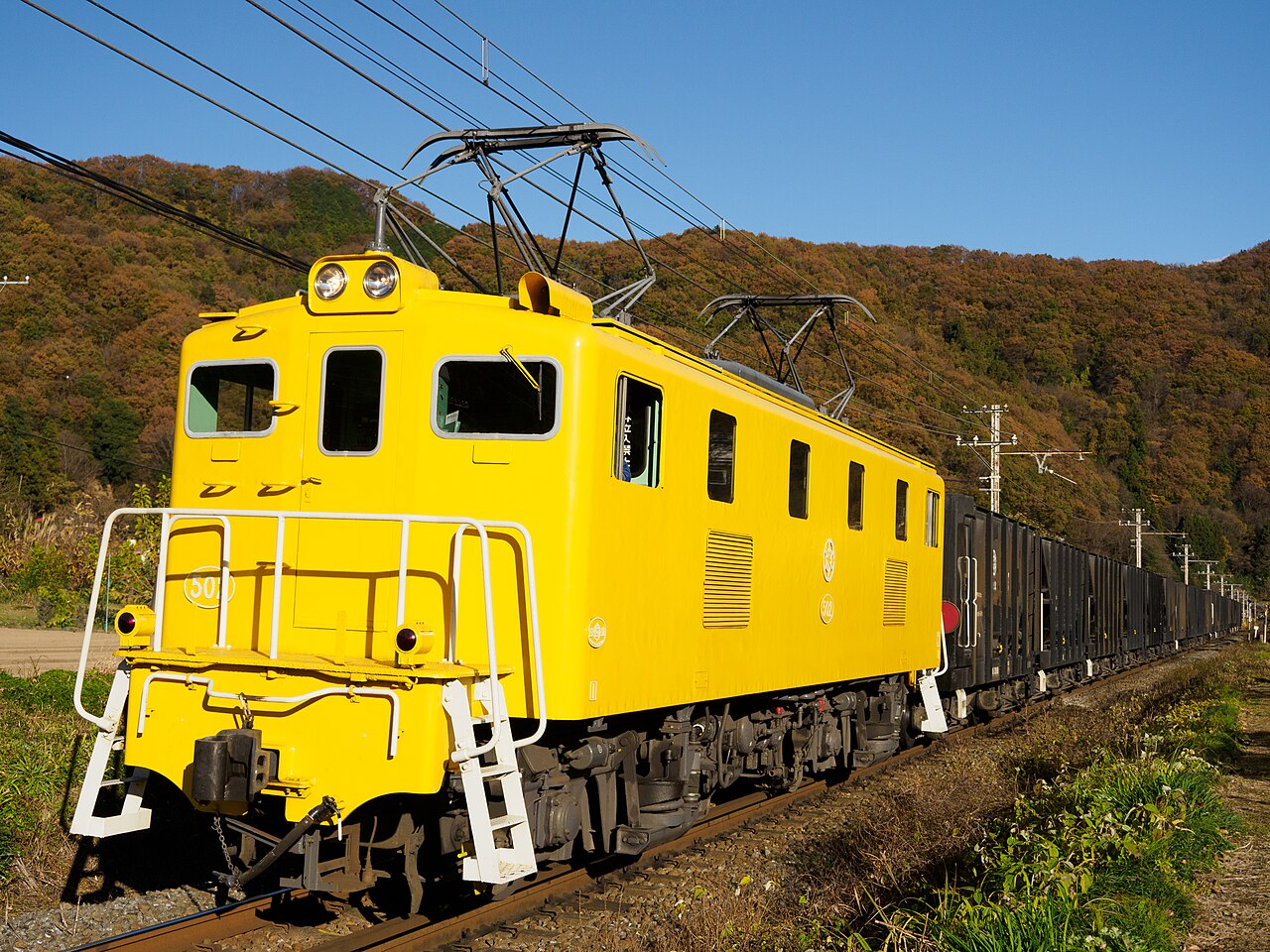

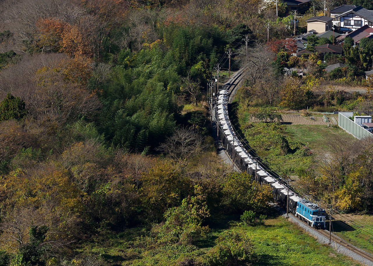
Images via Wikimedia Commons (CC-BY-SA) & Unsplash
Nearby Places
About this area
Atmosphere
Saitama foothills, Chichibu Line rural outpost. 188 daily passengers, hiking gateway. Mountain serenity, 2 hours commute.
Landmarks & Walks
River gorge access, mountain trails, outdoor recreation focus. Elevation 111 m, low seismic risk.
Food & Cafes
None documented. Pack provisions for outdoor trips.
Bars & Nightlife
Nonexistent. Last train 23:02, clinic nearby but no services.